

Religiously Reading Maps
As part of drop down day looking at religion, our learners in their Outdoor Education Pathway used maps.
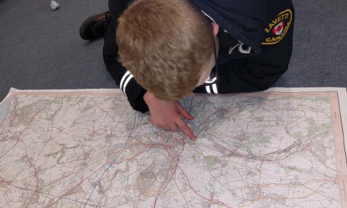
Their first task were to retrieve all they knew about grid references and challenge themselves with 6 figure grid references. Then identify a 25 square mile area using the scale on a map. Within the 25 square miles, they were to identify as many places of worship as they could, then use the key to find out if it was a church with a tower, a spire or a dome.
The final part was to research using Google Maps and to confirm what they had found using the key matched up with what was there in real life – bringing the focus on places of worship into context we discussed how widely spread the churches were in the Lake District, and compared this to the abundance of places of worship in towns and villages in Country Durham. Fascinating stuff, application of Maths, Religious Education, Digital Skills and Outdoor Education.